For most riders, the best starting point is simple: pedal the Virgin River Parkway for a scenic paved ride, hit Bearclaw Poppy for your first mountain bike lap, and loop Snow Canyon for the most rewarding road ride in town. Each pick suits a different mood and skill level, but together they cover what most visitors actually search for.
- Paved: Virgin River Parkway, best for families, cruisers, and anyone wanting a flat, scenic warm-up.
- Mountain: Bearclaw Poppy, the classic beginner-to-intermediate flow trail that locals still ride after work.
- Road/gravel: Snow Canyon Loop, a stunning red-rock climb with pavement smooth enough for road bikes.
Alternatives worth bookmarking: Sand Hollow and Jem Trail for mountain bikers, Veyo Loop for road riders craving quiet pavement, and the Virgin River North Trail for a shorter paved option near Confluence Park.
Key Takeaways
The best St. George riding plan pairs the Virgin River Parkway, Bearclaw Poppy, and Snow Canyon Loop with GPX downloads from SUBA or Trailforks and a fall-through-spring riding window.
| Point | Details |
|---|---|
| Start with the classics | Virgin River Parkway (paved), Bearclaw Poppy (mountain), and Snow Canyon Loop (road) suit most first-time riders. |
| Ride October through April | Valley temperatures stay mild for singletrack while higher-elevation Utah trails sit under snow. |
| Pull GPX before you leave | SUBA and Trailforks provide downloadable routes and crowd-sourced condition reports for every major trail. |
| Grade trails conservatively | Intermediate-rated St. George trails often include ledges and loose rock that surprise newcomers. |
| Book a rental near the trailhead | Rentalsinstgeorgeutah’s vacation homes offer secure bike storage and flexible check-in for multi-day riding trips. |
Table of Contents
- Quick Picks: Best St. George Bike Trail for Each Purpose
- Top St. George Bike Trails: Distance, Difficulty, and Access
- Where Can You Find Maps, GPX Files, and Live Trail Status?
- When Is the Best Time to Ride St. George Bike Trails?
- How Do You Plan Parking, Permits, and Logistics for a Ride?
- What Do Locals Know About St. George Bike Trails?
- Where to Stay for Easy Access to St. George Bike Trails
- Sources
- FAQ
Quick Picks: Best St. George Bike Trail for Each Purpose
Different rides call for different trails, and matching the route to your goal saves you from showing up at a technical singletrack with a rented cruiser.
- Best for total beginners: Bearclaw Poppy, ridden from the Gap or Bloomington trailhead, with marked ride-arounds for the harder technical features.
- Best paved scenic ride: Virgin River Parkway, flat, shaded in sections, and connects to several city parks.
- Best technical challenge: Jem Trail, a fast, flowy singletrack with a one-way downhill section riders need to respect.
- Best long road loop: Snow Canyon Loop, about a 20 to 30-minute drive from downtown with dramatic canyon walls the whole way.
- Best family-friendly path: Virgin River North Trail near Confluence Park, short, level, and close to parking.
- Best for intermediate flow: Zen Trail, a favorite among locals looking to build speed and confidence.
- Best point-to-point outing: Veyo Loop, though it usually requires a shuttle vehicle.
- Best desert scenery on a budget of time: Paradise Canyon, a quick network close to town.
Before you commit to a route, pull the exact turn-by-turn file from SUBA’s interactive bike map or check current conditions on Trailforks.
Top St. George Bike Trails: Distance, Difficulty, and Access
These profiles give you the basics for each named ride so you can plan a realistic day rather than guessing at trailhead locations.
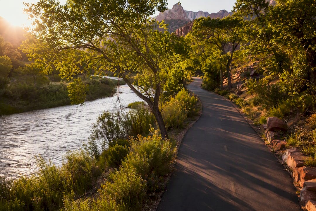
- Virgin River Parkway — Roughly 10 miles of connected paved trail along the river. Difficulty: beginner. Multiple access points, including near Bloomington and downtown parks. Highlight: shaded riverside stretches and easy connections to in-town errands. The city trails map PDF shows exact paved routing.
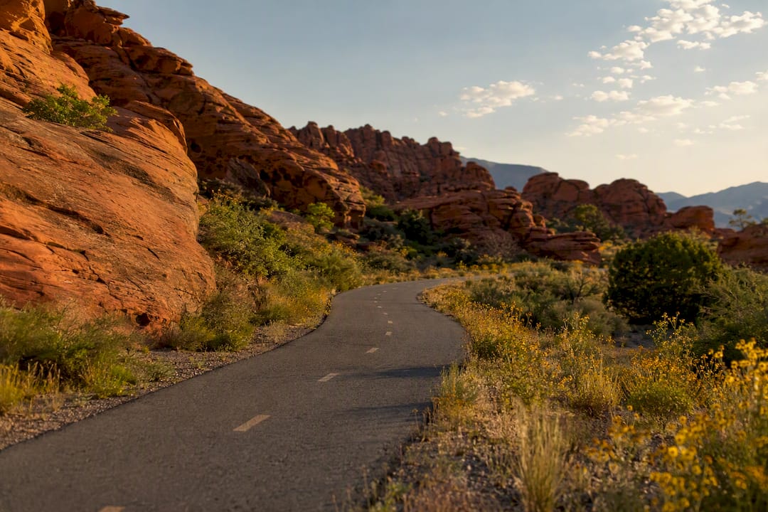
- Snow Canyon Loop (Snow Canyon State Park) — About 8 to 9 paved miles through the park, with the Whiptail Trail as its signature stretch. Difficulty: beginner to intermediate for cyclists comfortable with rolling grades. Trailhead: main park entrance off Highway 18. Highlight: red and white sandstone cliffs on both sides of the road.
- Sand Hollow Trail — A mixed network of several miles near Sand Hollow State Park. Difficulty: intermediate. Trailhead: Sand Hollow trail parking area. Highlight: sandy singletrack with reservoir views.
- Halfway Wash — A shorter technical trail, typically ridden as part of a larger loop. Difficulty: intermediate to advanced. Highlight: tight wash sections that reward good line choice.
- Bearclaw Poppy — Around 7 miles depending on connectors, best accessed from the Gap or Bloomington trailheads. Difficulty: beginner to intermediate, with marked ride-arounds on technical features. Highlight: flowing berms and the trail most locals recommend for a first real mountain bike ride, according to Moving Utah’s local trail guide.
- Jem Trail — 6.7 miles of singletrack, with a downhill-only one-way section. Difficulty: intermediate. Trailhead: Green Valley area. Highlight: fast descents, but follow posted signage since the BLM manages one-way routing here for safety.
- Zen Trail — A shorter loop connecting into the larger Bearclaw and Barrel Roll network. Difficulty: intermediate. Highlight: smooth flow sections good for building confidence.
- Veyo Loop — A road and gravel loop outside town, often 15+ miles depending on the route chosen. Difficulty: intermediate, mostly due to distance and remoteness. Highlight: quiet countryside far from valley traffic.
- Paradise Canyon — A compact trail cluster close to town. Difficulty: beginner to intermediate. Highlight: quick access for an after-work or before-dinner ride.
- Virgin River North Trail / Confluence Park — A short paved segment, typically 1 to 2 miles one way. Difficulty: beginner. Highlight: easy parking and flat terrain ideal for kids or new riders.
Pro Tip: Download GPX files for Bearclaw Poppy, Jem, and Zen from SUBA or Trailforks before you leave your rental, since cell service gets patchy in some canyon sections.
Where Can You Find Maps, GPX Files, and Live Trail Status?
Four resources cover almost everything you need before a ride.
- SUBA’s interactive map is best for GPX downloads and seeing planned versus existing bike lanes and natural-surface trails.
- Trailforks is best for crowd-sourced condition reports and checking whether a trail was recently washed out.
- AllTrails works well for user-submitted route reviews and photos, especially for Bearclaw Poppy and Sand Hollow.
- CalTopo is the tool for custom route planning and printable topo maps, particularly for point-to-point road rides like Veyo Loop.
Pro Tip: Check Trailforks the morning of your ride, not the night before. Desert trail conditions can shift overnight after wind or rain.
When Is the Best Time to Ride St. George Bike Trails?
October through April is the sweet spot for singletrack, since St. George’s valley temperatures stay mild while higher-elevation Utah trails sit under snow.
- Avoid midday rides between June and August, when valley-floor temperatures routinely climb past 100°F.
- In summer, ride at dawn or dusk, or shift to paved river routes like the Virgin River Parkway where shade and water access are more forgiving.
- Carry more water than you think you need. Two bottles is a bare minimum on any singletrack loop past 30 minutes.
- Monsoon storms can wash out sections of desert trail with little warning, so check trail status before heading out rather than after arriving at the trailhead.
Pro Tip: If you’re visiting in July or August, plan mountain bike rides for sunrise and save the Virgin River Parkway for the heat of the afternoon.
How Do You Plan Parking, Permits, and Logistics for a Ride?
Most trailheads use small dirt lots that fill up on weekend mornings, especially at Bearclaw Poppy’s Bloomington access and the main Snow Canyon entrance.
- Snow Canyon and Sand Hollow are managed by Utah State Parks, so check current entrance fees and closures before you go.
- Jem Trail sits on BLM land, and closures or one-way routing changes get posted on the BLM’s Jem Trail page.
- Restrooms exist at major trailheads like Snow Canyon’s entrance, but many smaller lots have none, so plan accordingly.
- Point-to-point rides like Veyo Loop typically need a shuttle vehicle since public transit doesn’t reach most trailheads.
- Bike shops in town handle flats, tune-ups, and rentals if something breaks mid-trip.
What Do Locals Know About St. George Bike Trails?
St. George earns its reputation as a winter riding destination because valley temperatures stay rideable when Park City or Moab sit under snow. Locals lean on Bearclaw Poppy and the Zen network for quick winter laps close to town.
“Many ‘intermediate’ trails in St. George include ledges, loose rock, and exposure. Newcomers should interpret grading conservatively and start on easier paved routes or Bearclaw Poppy,” according to Moving Utah’s local trail guide.
Before any ride, check SUBA’s map for GPX and planned trail work, scan Trailforks or AllTrails for recent reports, and confirm closures through BLM or Utah State Parks.
Why We Recommend These Rides for Visiting Cyclists
My work connecting travelers with places to stay near St. George’s trail network shapes which routes I point people toward first. Guests booking family stays need easy trailhead access and secure space for bikes just as much as they need a good route recommendation.
Where to Stay for Easy Access to St. George Bike Trails
Rentalsinstgeorgeutah puts you closer to the trailhead than a hotel room ever will, cutting your morning drive time and giving you a place to actually store gear between rides. Multi-day riding trips need more than a bed. They need secure space for bikes, laundry for sweat-soaked gear, and a check-in process that doesn’t eat into riding time.

Our vacation homes in St. George come with a few advantages built for cyclists specifically:
- Private patios and garages that double as secure bike storage overnight.
- Full kitchens and in-unit laundry, useful after a dusty day on Jem Trail or Sand Hollow.
- Flexible check-in times, so an early trailhead start doesn’t conflict with a late arrival the night before.
If you’re planning a multi-day trip through Bearclaw Poppy, Snow Canyon, and Sand Hollow, browse available home rentals in St. George and lock in dates before peak riding season fills up.
Sources
- Utah
- Jem Trail – Utah | Bureau of Land Management
- St George Mountain Biking Trails | Trailforks
- Mountain Biking in St. George, Utah: A Local Trail Guide | Moving Utah
FAQ
What Are Some Good Bike Trails Around St. George, Utah?
Bearclaw Poppy, Jem Trail, and Sand Hollow lead the mountain biking options, while the Virgin River Parkway and Snow Canyon Loop cover the best paved and road riding.
What Are the Best Paved Bike Paths in Utah’s St. George Area?
The Virgin River Parkway and the paved Whiptail route through Snow Canyon State Park are the two most scenic, well-maintained paved paths in the region.
How Long Is the Virgin River Trail in St. George, Utah?
The Virgin River Parkway runs roughly 10 miles of connected paved trail along the river, with shorter access segments like the Virgin River North Trail near Confluence Park.
How Many Miles of Trails Are There in St. George?
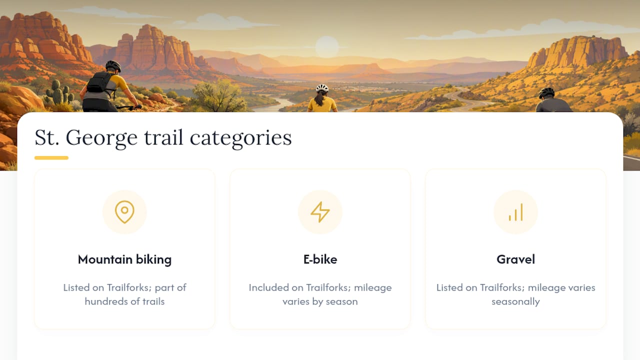
Trailforks lists hundreds of trails across the greater St. George region, spanning mountain biking, e-bike, and gravel categories, so exact citywide mileage varies by trail type and season.
Where Can I Find a Place to Stay Near St. George’s Bike Trails?
Rentalsinstgeorgeutah offers vacation homes with secure bike storage and flexible check-in, positioned within easy driving distance of Bearclaw Poppy, Snow Canyon, and Sand Hollow.